About our project records
We list client categories, marine areas and survey topics within our confidentiality obligations. If you need specific project or client names, we can provide them separately with the client's consent. For tenders requiring evidence of comparable work, we can prepare records in the required format. Please contact us.
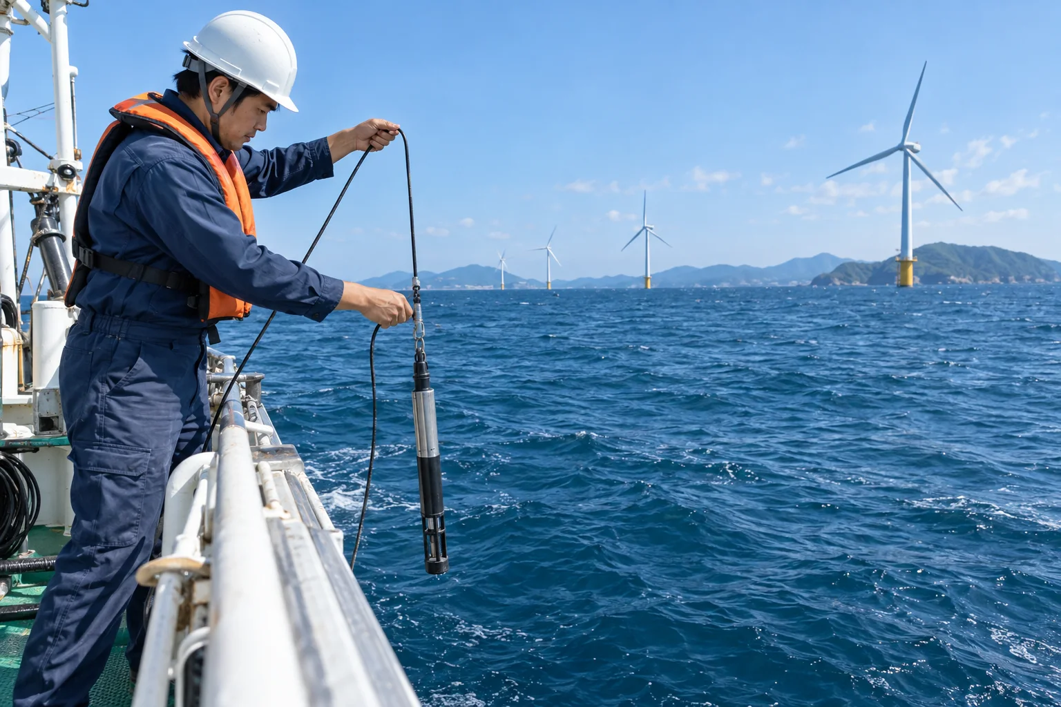
Marine environmental surveys for offshore wind (ongoing since fiscal 2024)
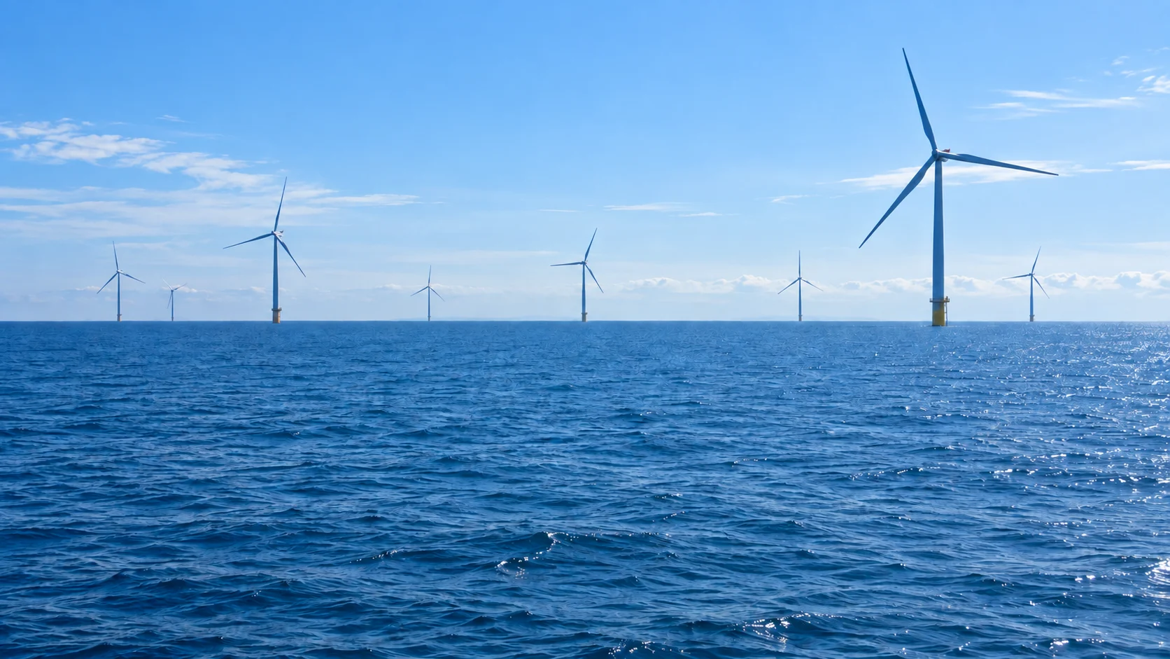
Client category: private developer. We conducted the marine surveys needed at the draft environmental impact statement stage for a promotion zone on the Sea of Japan coast. Promotion zones are sea areas designated by Japan for offshore wind development. The selected topics were turbidity, underwater sound, marine mammals, fish, benthic animals, seaweed and seagrass. We surveyed 32 stations once each season over two years. We are maintaining the same stations and methods for follow-up monitoring after construction begins.
- Survey stations
- 32stations
- Field surveys
- Once each season
- Survey period
- 2years
Water quality monitoring during harbor dredging (fiscal 2023 to 2025)
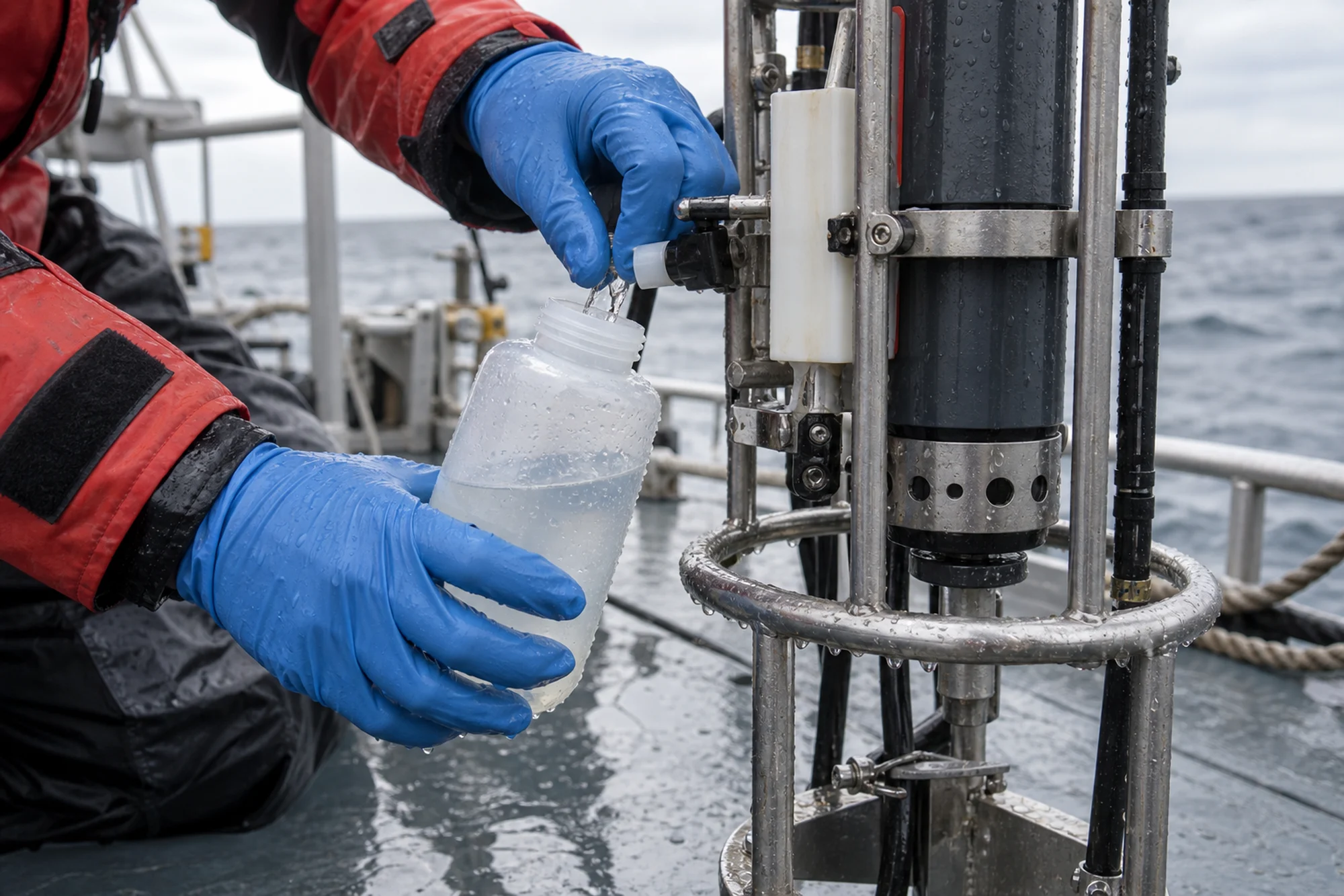
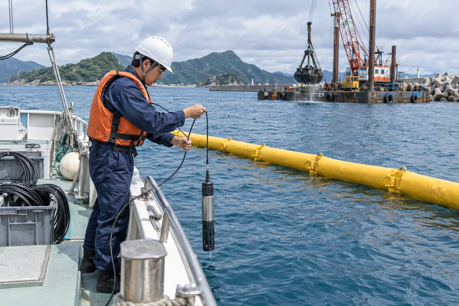
Client category: port authority. Throughout dredging, we continuously measured turbidity and dissolved oxygen at stations inside and outside silt curtains. We agreed a notification procedure with the contractor for threshold exceedances and supplied data to support decisions on suspending work. Sediment and benthic surveys before and after construction assessed whether effects extended beyond the work area.
Long-term sediment and benthic monitoring in an inner bay (ongoing since fiscal 2011)
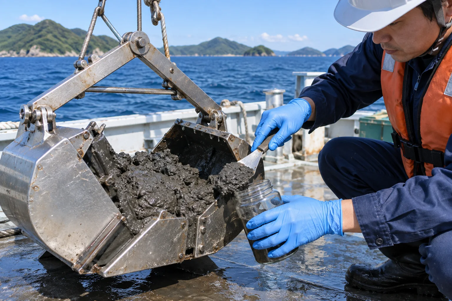
Client category: prefectural government. We have conducted sediment analysis and benthic surveys twice a year at eight inner-bay stations for 15 years. We track the relationship between the timing of low-oxygen water and benthic abundance, reporting how year-to-year differences in oxygen depletion affect the recovery of species composition. Fixed recording formats and identification criteria keep results comparable across changes in personnel.
- Survey stations
- 8stations
- Survey frequency
- Twice a year
- Monitoring period
- 15years
Seagrass and seaweed distribution and cover surveys (fiscal 2022)
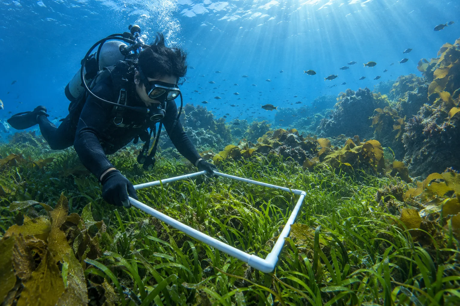
Client category: city government. We combined diver cover surveys with drone aerial photography to map coastal seagrass and seaweed beds. Overlaying earlier survey results identified areas of retreat and areas of stable distribution, supporting the prioritization of conservation measures.
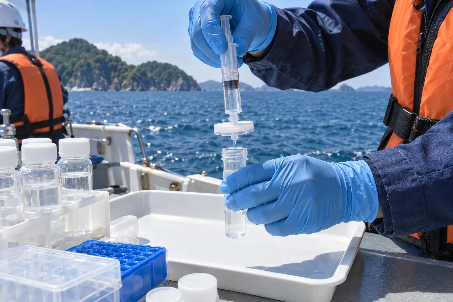
Fish community surveys using environmental DNA (fiscal 2025)
Client category: research institution. We conducted environmental DNA analysis alongside conventional sampling and compared the overlap and differences in detected species. Environmental DNA detected free-swimming species that were difficult to confirm through capture, while conventional sampling detected small resident species more readily. We proposed selecting and combining methods according to the survey objective.
Seabed changes around marine structures (fiscal 2024)
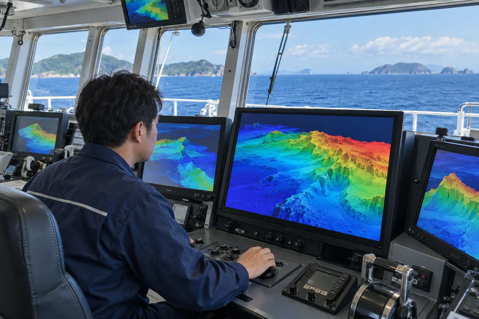
Client category: a Regional Development Bureau, a regional office of Japan's national infrastructure ministry. We used narrow multibeam bathymetry to map scour around a breakwater. Differences from the previous survey revealed deposition and scour areas, helping focus maintenance inspections.