
Three stages from survey to assessment
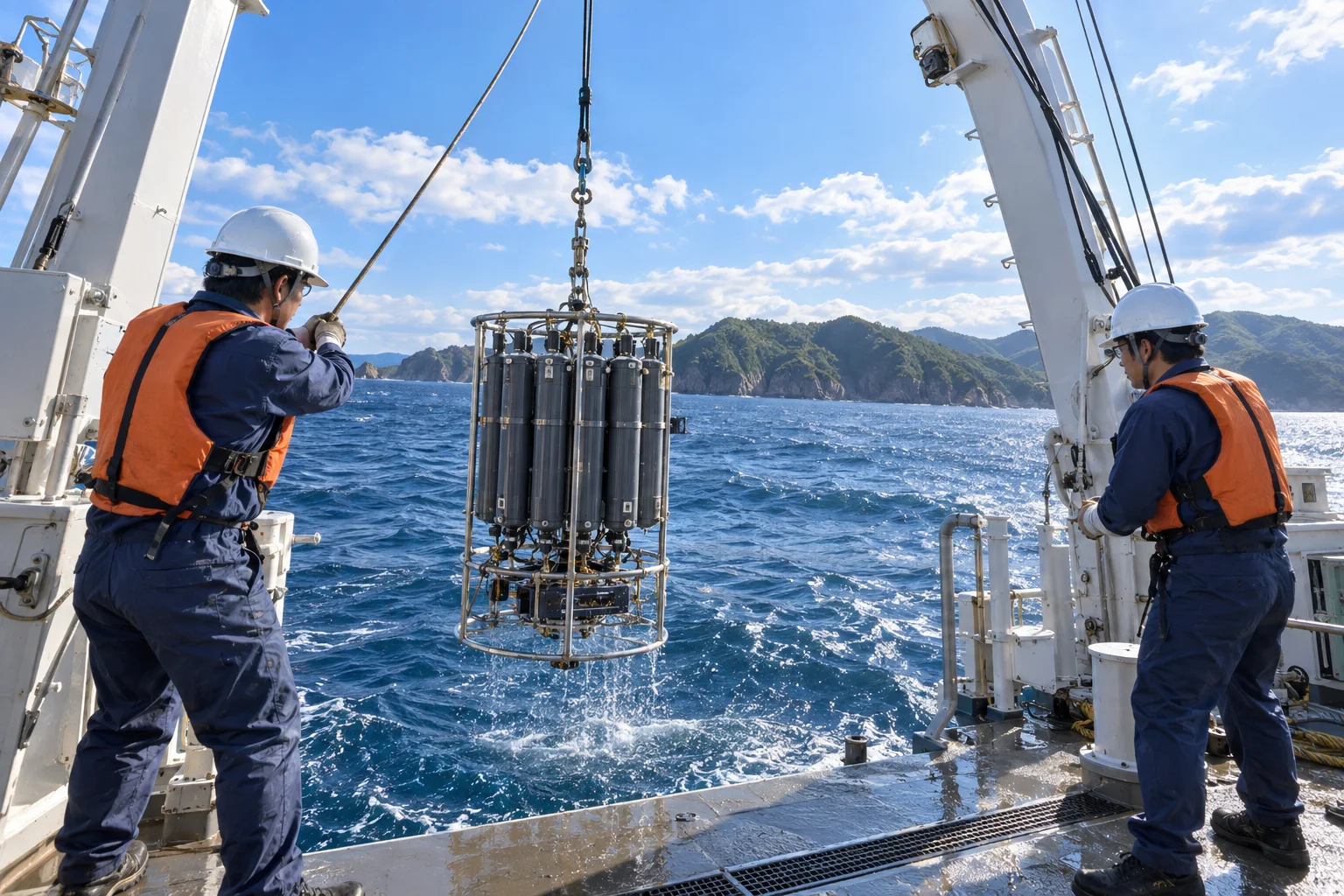
Our work has three stages: field surveys to measure conditions at sea, laboratory analysis to examine collected samples, and data analysis and consulting to interpret the results. You can commission any stage on its own. When we handle all three, decisions remain consistent from sample handling through to the final report.
Marine surveys
For current surveys, we deploy moored acoustic current meters to continuously record vertical profiles of current direction and speed. Wave surveys primarily use pressure sensors to measure significant wave height and period. Water quality surveys combine measurements from multiparameter instruments with water sampling, covering chemical oxygen demand (COD), total nitrogen, total phosphorus, turbidity and dissolved oxygen. Sediment surveys use grab samplers to collect surface material for particle size analysis, loss on ignition, sulfides and water content. Biological surveys cover phytoplankton, zooplankton, benthos, fish eggs and larvae, attached organisms, and diver surveys of seagrass, seaweed and coral cover. Bathymetric surveys map the seabed across the survey area.
- Current surveys
- Wave surveys
- Water quality surveys
- Sediment surveys
- Biological surveys
- Bathymetric surveys
Laboratory analysis
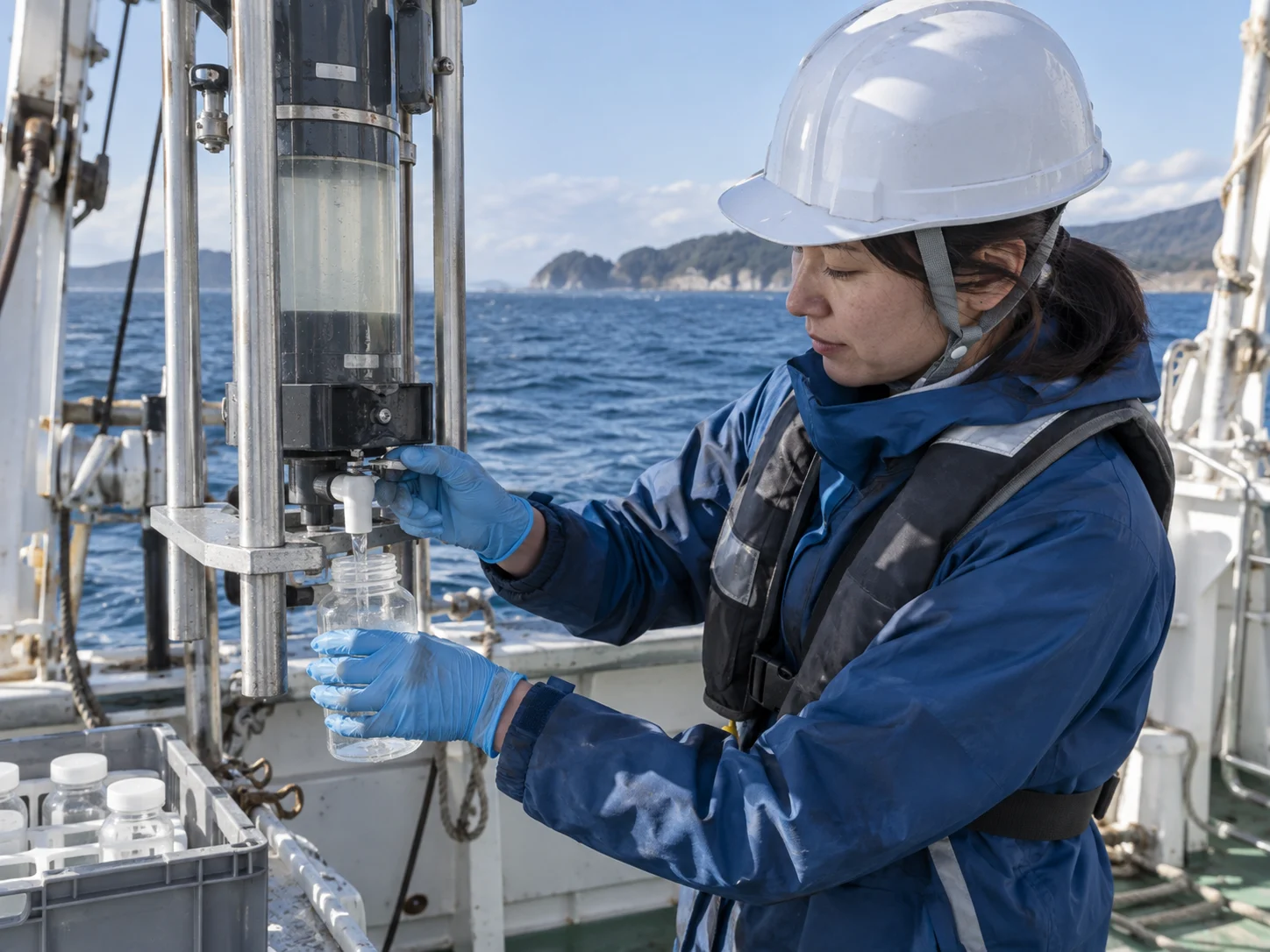
Our in-house laboratories identify and count organisms and conduct chemical analysis. Work includes species identification and abundance of zooplankton and phytoplankton, benthic wet biomass and species composition, and identification of fish eggs and larvae. We also offer environmental DNA analysis, using quantitative PCR to detect particular species and broader sequencing analysis to characterize fish communities. Microplastic counting and material identification are available. We also accept samples for analysis without a field survey commission.

- Organism identification and counting
- Chemical analysis
- Environmental DNA analysis
- Microplastic counting
Data analysis and consulting
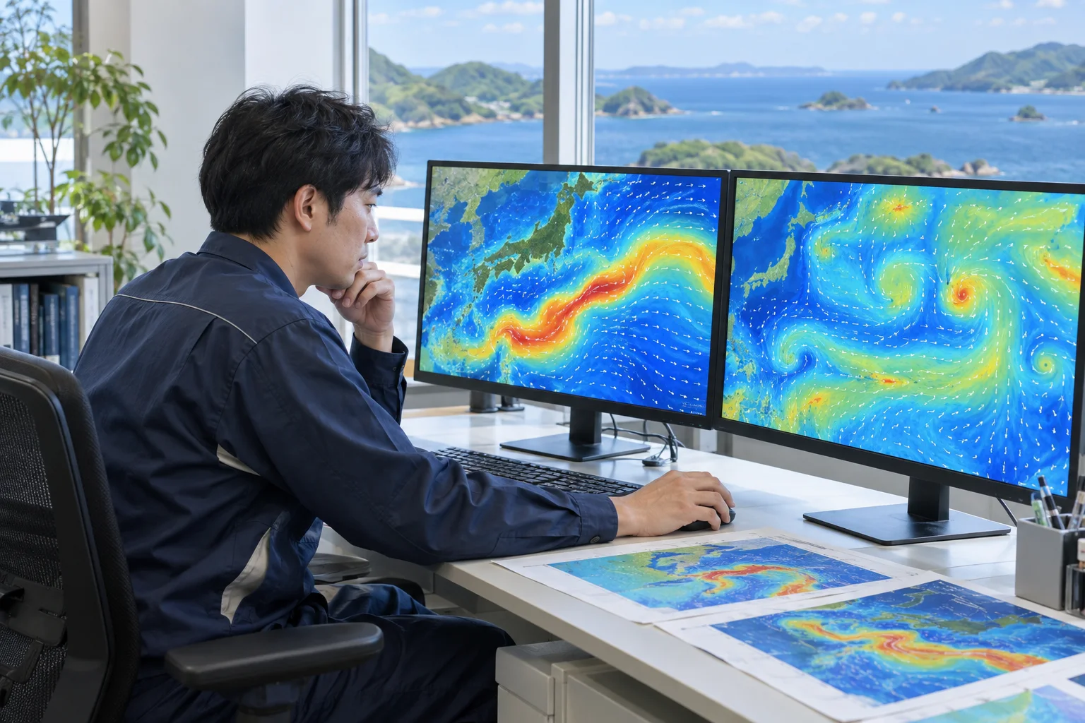
Observations need interpretation before they can support decisions. We predict affected areas through current analysis and dispersion modeling, detect trends through statistical analysis of time series, prepare the marine sections of environmental impact assessment documents, and produce supporting material for regulatory review. We can also help develop mitigation measures and design monitoring programs. Our involvement starts before fieldwork, by agreeing on what needs to be measured to support a decision.
Offshore wind surveys
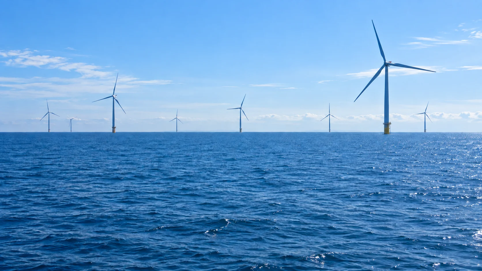
Survey requirements change from the selection of promotion zones (sea areas designated by Japan for offshore wind development) through to operation. Early work includes reviewing existing information and conducting reconnaissance surveys. At the scoping and draft assessment stages, we conduct field surveys for selected topics such as birds, marine mammals, fish, benthic animals, seaweed, seagrass, turbidity and underwater sound. These stages correspond to the method statement and draft environmental impact statement in Japan's assessment process. During construction, we monitor turbidity dispersion and underwater sound. Once a project is operating, follow-up surveys continue at the same locations. Each stage provides the baseline for the next, so we keep station locations and measurement methods consistent.
- Before assessmentExisting data review and reconnaissance
- Scoping and draft assessmentField surveys for selected assessment topics
- During constructionTurbidity dispersion and underwater sound monitoring
- During operationContinued observations at the same stations
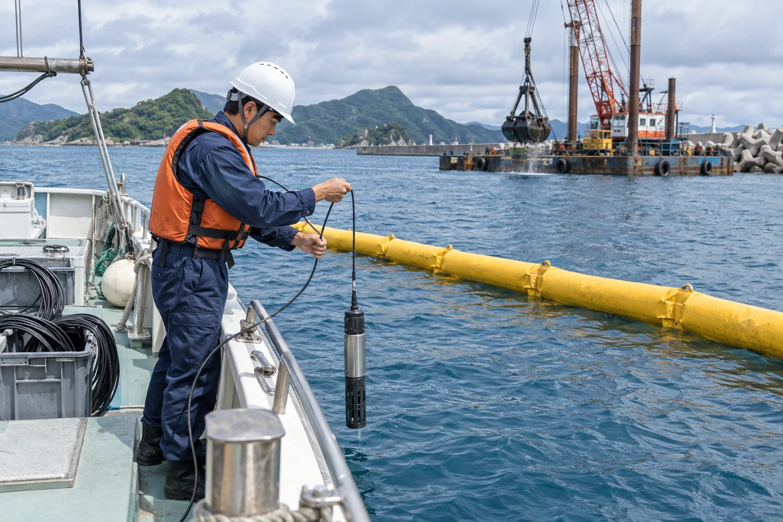
Harbor and coastal construction surveys
We monitor environmental conditions during dredging, reclamation, and breakwater and seawall construction. Work can combine turbidity monitoring inside and outside silt curtains, comparisons of sediment and benthic organisms before and after construction, and additional surveys where seagrass beds or tidal flats are nearby. Construction schedules change, so we agree monitoring frequency and action thresholds with the client and contractor in advance.
How a project proceeds
- ConsultationTell us about your project, marine area and schedule. Share any specifications you have.
- Survey proposalWe set out survey topics, station numbers, survey frequency, schedule and estimated cost.
- Contract
- FieldworkWe coordinate survey dates around weather and sea conditions.
- Analysis and assessment
- Report deliveryThis includes explaining the findings and discussing support for regulatory review.