Clear limits on what we can measure
Knowing the depths and accuracy we can work to is more useful when commissioning a survey than a simple list of capabilities. We describe our equipment and operating range in concrete terms. For conditions outside those listed, vessel charter or equipment rental may allow us to help. Please contact us to discuss your requirements.
- Our vessels
- 2vessels
- Operating range
- offshore50km, approx.
- Maximum ROV depth
- 300m
- Diving survey team
- licensed divers14people
Research vessels
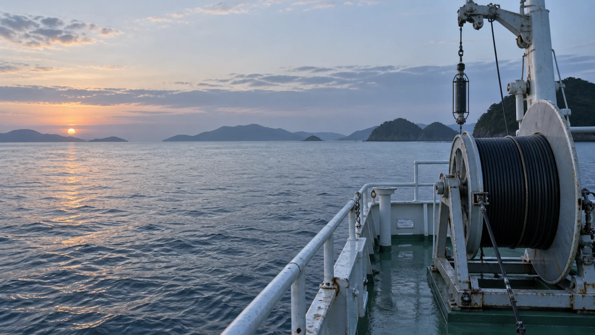
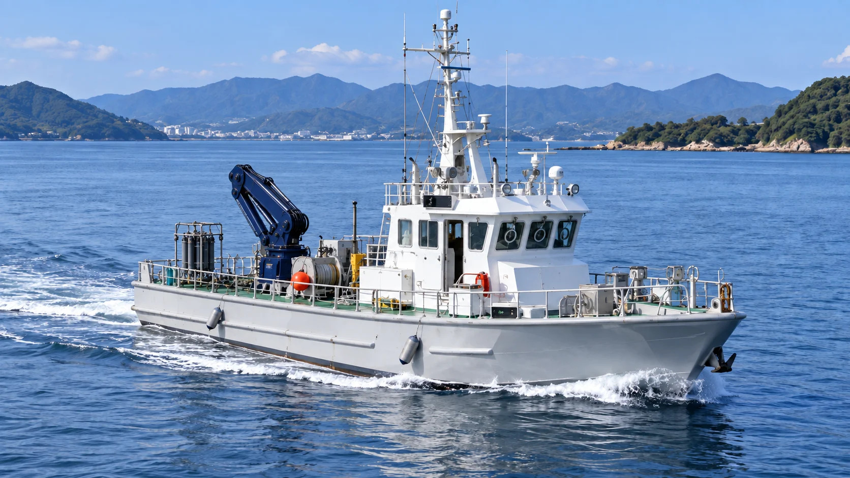
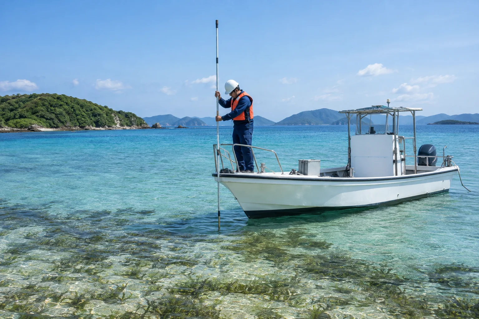
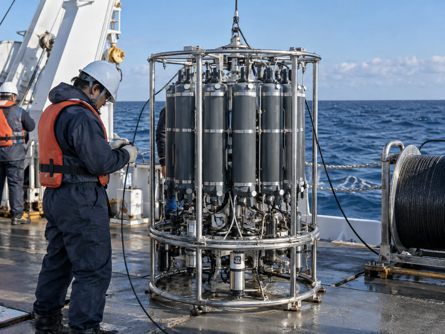
We own two vessels. Daiichi Aonagi Maru has a gross tonnage of 19, a maximum complement of 12 people and an operating range from coastal waters to approximately 50 km offshore. An A-frame and hydraulic winch on the working deck support the deployment of grab samplers, CTD instruments and towed equipment. Aonagi No. 2 is a small workboat with a gross tonnage of 4.9, used in harbors and shallow water and to support diving surveys. Its shallow draft allows access close to tidal flats and seagrass beds. We charter vessels for projects requiring more distant offshore work or extended voyages.
- Daiichi Aonagi Maru gross tonnage
- 19gross tons
- Daiichi Aonagi Maru complement
- 12people
- Aonagi No. 2 gross tonnage
- 4.9gross tons
Survey instruments
Our inventory includes three acoustic Doppler current profilers, in moored and hull-mounted configurations; four pressure wave gauges; six multiparameter water quality instruments for temperature, salinity, turbidity, dissolved oxygen, pH and chlorophyll; and two CTD instruments. We use Smith-McIntyre and Ekman-Birge grab samplers as appropriate, and an undisturbed sediment corer when core samples are needed. We have plankton nets in four mesh sizes, as well as hydrophones and recording systems for underwater sound measurement.
Mapping the seabed
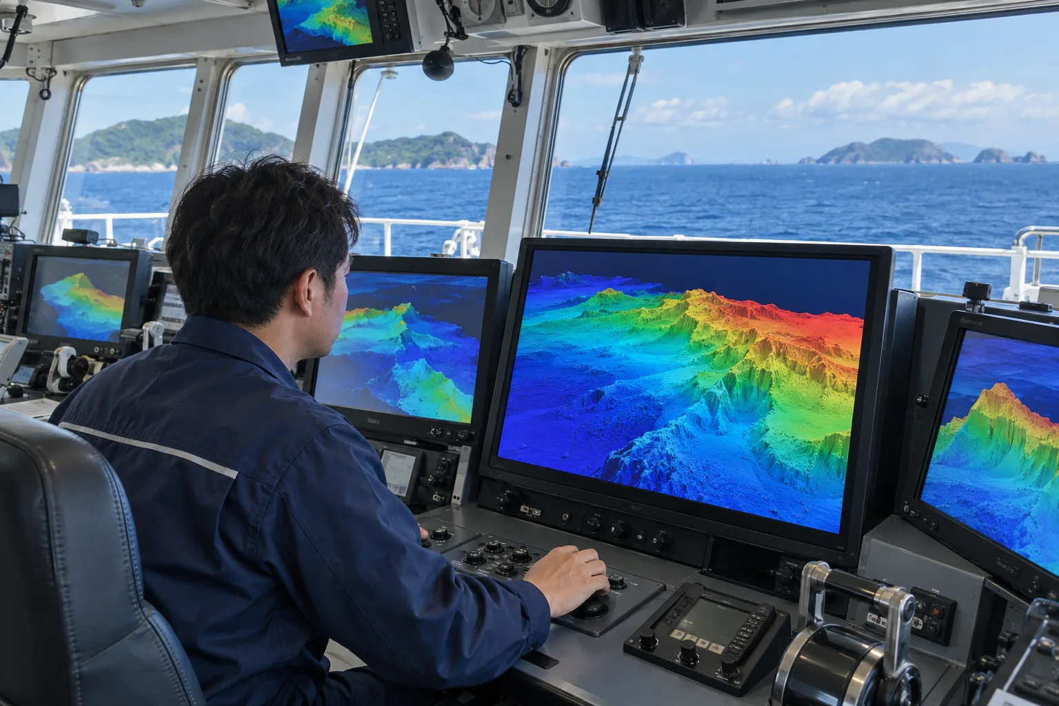
Our narrow multibeam echo sounder provides continuous area coverage of seabed topography. It reveals local scour and the extent of deposition that conventional soundings may miss, helping track changes around structures over time. We use side-scan sonar to record seabed imagery and a sub-bottom profiler to examine shallow geological layers.
Diving and ROV operations
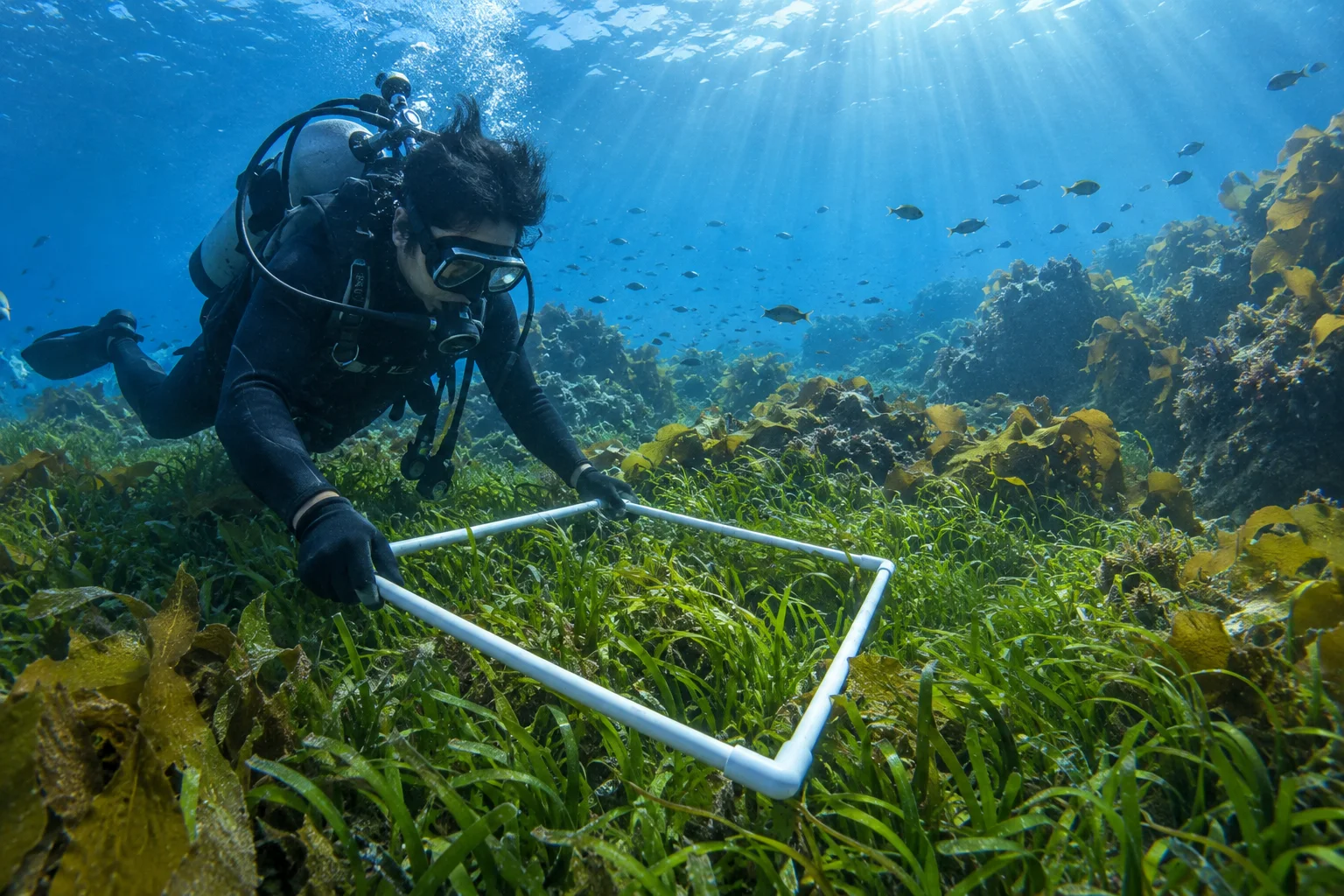
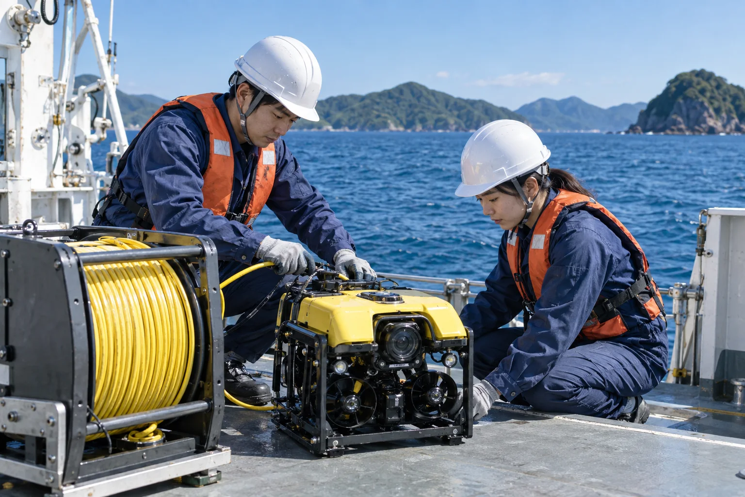
Our diving survey team comprises 14 licensed commercial divers. We conduct quadrat-based cover surveys and sampling, underwater photography and video, and visual records of coral, seagrass and seaweed beds. Where depth or poor visibility makes diving difficult, we deploy a shallow-water remotely operated vehicle (ROV). It can operate to 300 meters and carries a 4K camera and a two-axis manipulator. We also use it for visual inspection of seabed structures.
Diving surveysA team of 14 licensed divers
Shallow-water ROVMaximum operating depth: 300 meters
Laboratories
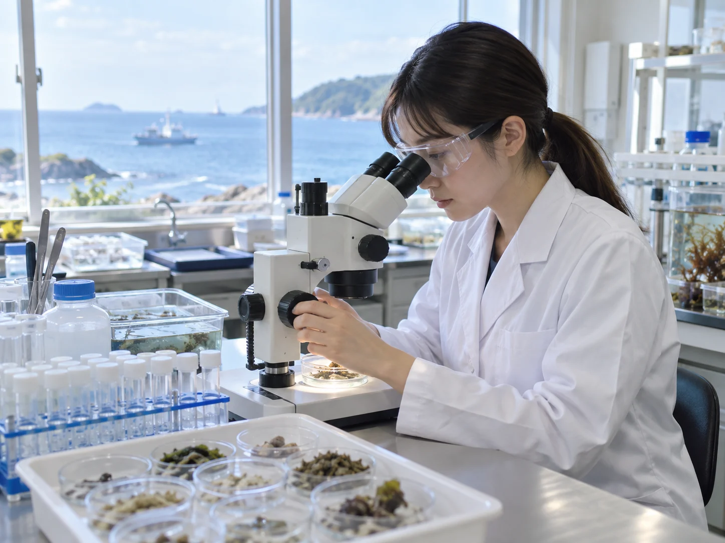
Our biological and chemical laboratories are on the fourth floor of our headquarters. The biological laboratory has eight stereomicroscopes and four compound microscopes for identifying and counting plankton, benthos, and fish eggs and larvae. Chemical analysis covers COD, total nitrogen, total phosphorus, sulfides, loss on ignition and particle size distribution. Environmental DNA analysis has a separate sample preparation room and real-time PCR equipment to prevent contamination.
- Stereomicroscopes
- 8units
- Compound microscopes
- 4units
Data handling
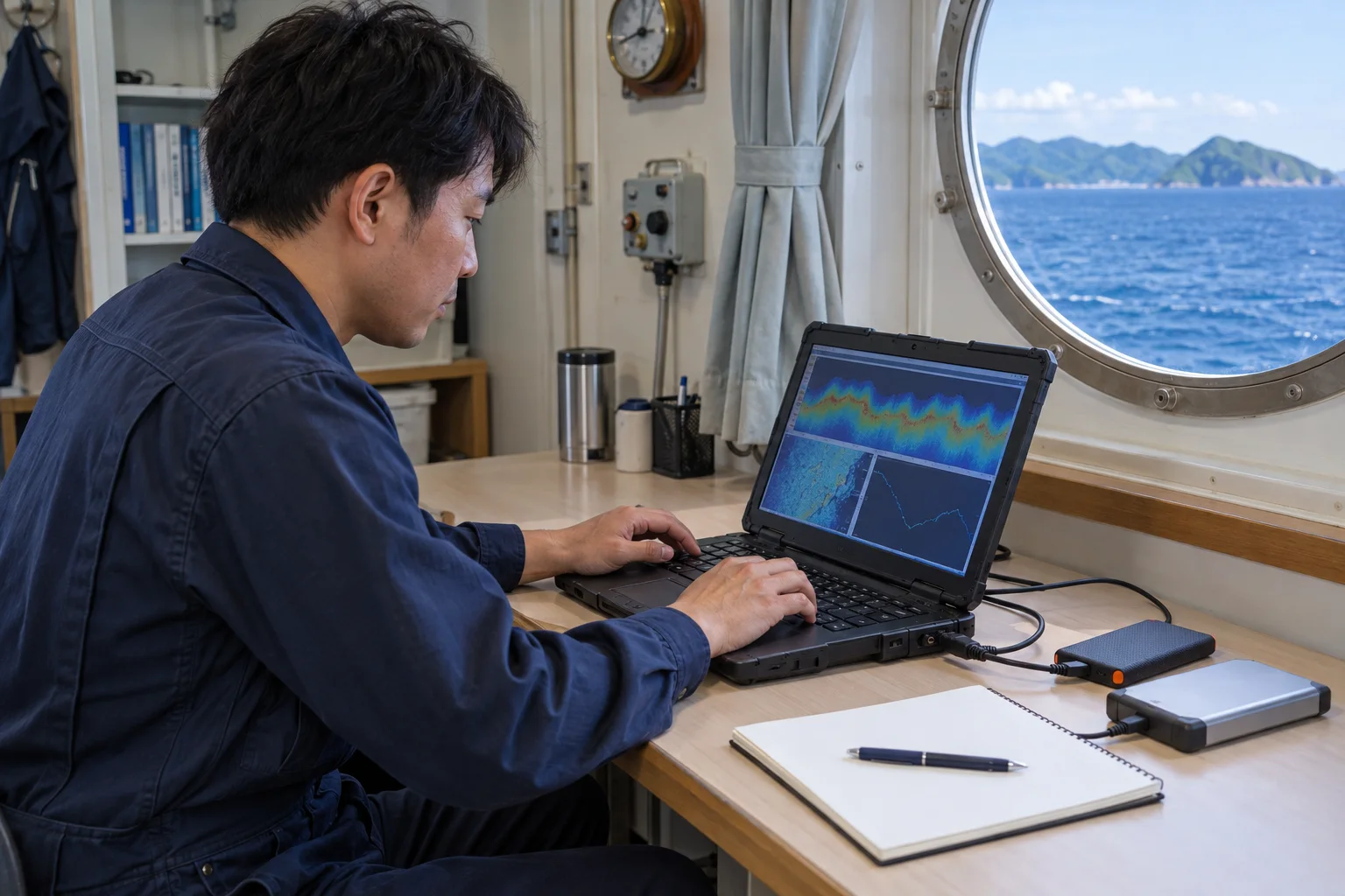
Raw field data are backed up aboard the vessel on the day of collection and saved redundantly to our internal servers on return. We always retain unprocessed data so that every reported value can be traced to its original record. For long-term monitoring, we also retain the history of changes to measurement conditions so that later comparisons take those differences into account.
- Back up aboard the vessel
- Save redundantly on internal servers
- Retain unprocessed data
- Keep original records traceable
Equipment at a glance
Research vessels
- Daiichi Aonagi Maru
- 19 gross tons / 12 people
Coastal waters to approximately 50 km offshore - Aonagi No. 2
- 4.9 gross tons
Harbor and shallow-water operations
Survey instruments
- Acoustic Doppler current profilers
- 3 units
- Pressure wave gauges
- 4 units
- Multiparameter water quality instruments
- 6 units
- CTD
- 2 units